

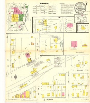
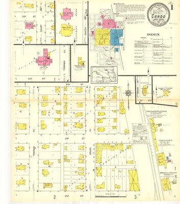
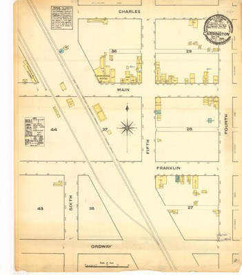
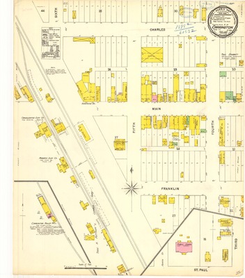
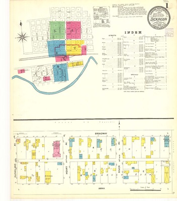
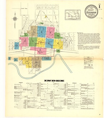
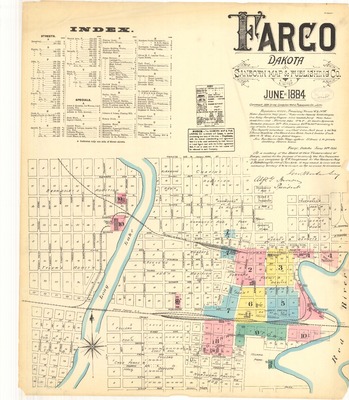
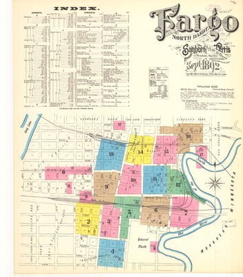
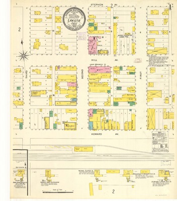
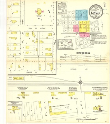
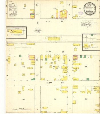
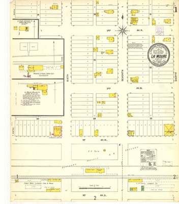
This collection consists of maps of North Dakota communities published by the Sanborn Map Company. The maps date from 1884 until 1960 and depict commercial, industrial, and residential areas.
Additional information regarding Sanborn maps can be found at the Library of Congress.
-

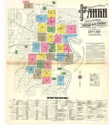
Fargo, 1910
Sanborn Map Company
1910 map for Fargo, North Dakota. Scale of 1:600 (50 feet=1 inch). 32 total pages, each measuring 64 x 54 cm. Index, key, and boundaries for all pages included on the first page.
-

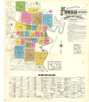
Fargo, 1916
Sanborn Map Company
1916 map for Fargo, North Dakota. Scale of 1:600 (50 feet=1 inch). 28 pages, each measuring 64 x 54 cm. Index, key, and boundaries for all pages included on the first page.
-

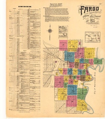
Fargo, 1922
Sanborn Map Company
1922 map for Fargo, North Dakota. Scale of 1:600 (50 feet=1 inch). 37 total pages, each measuring 64 x 54 cm. Index, key, and boundaries for all pages included on the first page.
-

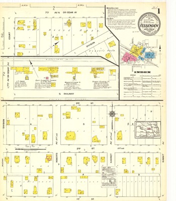
Fessenden, 1904
Sanborn Map Company
1904 map for Fessenden, North Dakota. Scale of 1:600 (50 feet=1 inch). Two pages, each measuring 64 x 54 cm. Index, key, and boundaries for all pages included on the first page.
-

Fessenden, 1907
Sanborn Map Company
1907 map for Fessenden, North Dakota. Scale of 1:600 (50 feet=1 inch). Two pages, each measuring 64 x 54 cm. Index, key, and boundaries for all pages included on the first page.
-

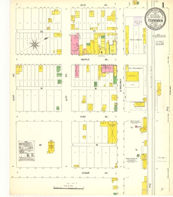
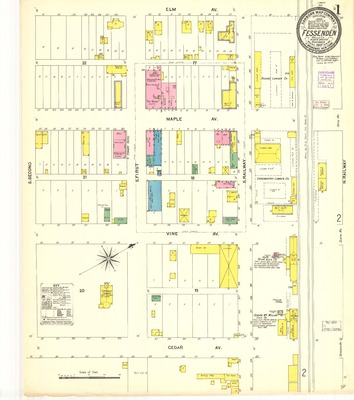
Fessenden, 1918
Sanborn Map Company
1918 map for Fessenden, North Dakota. Scale of 1:600 (50 feet=1 inch). Three total pages, each measuring 64 x 54 cm. Index, key, and boundaries for all pages included on the first page.
-

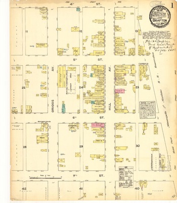
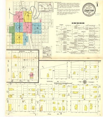
Grafton, 1884
Sanborn Map Company
1884 map for Grafton, Dakota Territory. Scale of 1:600 (50 feet=1 inch). Three total pages, each measuring 64 x 54 cm. Index, key, and boundaries for all pages included on the first page.
-

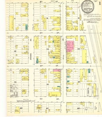
Grafton, 1891
Sanborn Map Company
1891 map for Grafton, North Dakota. Scale of 1:600 (50 feet=1 inch). Three total pages, each measuring 64 x 54 cm. Index, key, and boundaries for all pages included on the first page.
-

Grafton, 1897
Sanborn Map Company
1897 map for Grafton, North Dakota. Scale of 1:600 (50 feet=1 inch). Four pages, each measuring 64 x 54 cm. Index, key, and boundaries for all pages included on the first page.
-

Grafton, 1904
Sanborn Map Company
1904 map for Grafton, North Dakota. Scale of 1:600 (50 feet=1 inch). Five total pages, each measuring 64 x 54 cm. Index, key, and boundaries for all pages included on the first page.
-

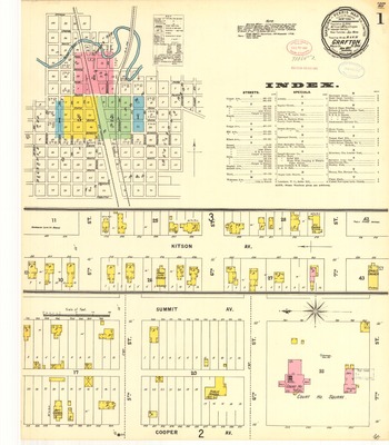
Grafton, 1907
Sanborn Map Company
1907 map for Grafton, North Dakota. Scale of 1:600 (50 feet=1 inch). Six total pages, each measuring 64 x 54 cm. Index, key, and boundaries for all pages included on the first page.
-

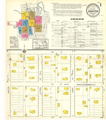
Grafton, 1914
Sanborn Map Company
1914 map for Grafton, North Dakota. Scale of 1:600 (50 feet=1 inch). Eight total pages, each measuring 64 x 54 cm. Index, key, and boundaries for all pages included on the first page.
-

Grafton, 1918
Sanborn Map Company
1918 map for Grafton, North Dakota. Scale of 1:600 (50 feet=1 inch). Ten total pages, each measuring 64 x 54 cm. Index, key, and boundaries for all pages included on the first page.
-

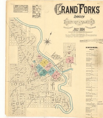
Grand Forks, 1884
Sanborn Map Company
1884 map for Grand Forks, Dakota Territory. Scale of 1:600 (50 feet=1 inch). Nine total pages, measuring 64 x 54 cm. Index, key, and boundaries for all pages included on the first page.
-

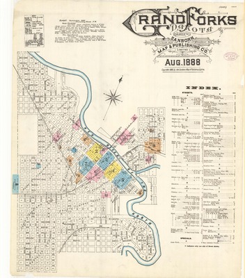
Grand Forks, 1888
Sanborn Map Company
1888 map for Grand Forks, Dakota Territory. Scale of 1:600 (50 feet=1 inch). Twelve total pages, each measuring 64 x 54 cm. Index, key, and boundaries for all pages included on the first page.
-

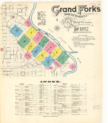
Grand Forks, 1892
Sanborn Map Company
1892 map for Grand Forks, North Dakota. Scale of 1:600 (50 feet=1 inch). Sixteen total pages, each measuring 64 x 54 cm. Index, key, and boundaries for all pages included on the first page.
-

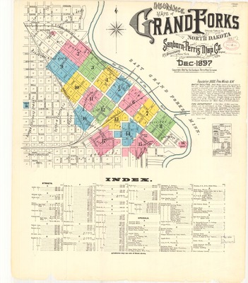
Grand Forks, 1897
Sanborn Map Company
1897 map for Grand Forks, North Dakota. Scale of 1:600 (50 feet=1 inch). Seventeen total pages, each measuring 64 x 54 cm. Index, key, and boundaries for all pages included on the first page.
-

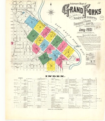
Grand Forks, 1901
Sanborn Map Company
1901 map for Grand Forks, North Dakota. Scale of 1:600 (50 feet=1 inch). Seventeen total pages, each measuring 64 x 54 cm. Index, key, and boundaries for all pages included on the first page.
-

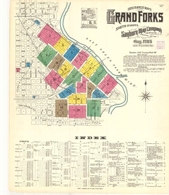
Grand Forks, 1906
Sanborn Map Company
1906 map for Grand Forks, North Dakota. Scale of 1:600 (50 feet=1 inch). 21 total pages, each measuring 64 x 54 cm. Index, key, and boundaries for all pages included on the first page.
-

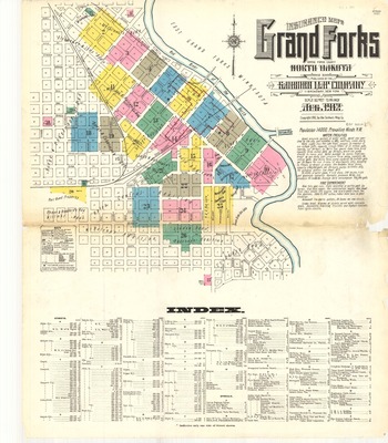
Grand Forks, 1912
Sanborn Map Company
1912 map for Grand Forks, North Dakota. Scale of 1:600 (50 feet=1 inch). 27 total pages, each measuring 64 x 54 cm. Index, key, and boundaries for all pages included on the first page.
-

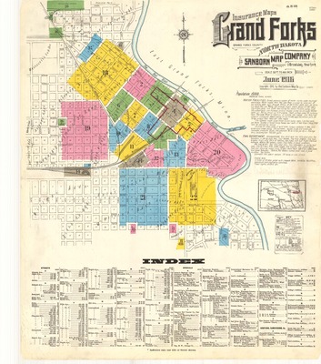
Grand Forks, 1916
Sanborn Map Company
1916 map for Grand Forks, North Dakota. Scale of 1:600 (50 feet=1 inch). 22 pages, each measuring 64 x 54 cm. Index, key, and boundaries for all pages included on the first page.
-
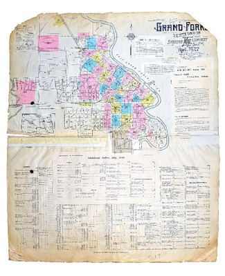
 by Sanborn Map Company")
Grand Forks, 1927 (with paste downs from 1939 and 1943)
Sanborn Map Company
1927 map for Grand Forks, North Dakota. The map has paste downs from 1939 and 1943 and has a brown cover. Scale of 1:600 (50 feet=1 inch). 34 pages, each measuring 64 x 54 cm. Index, key, and boundaries for all pages included on the first page.
-
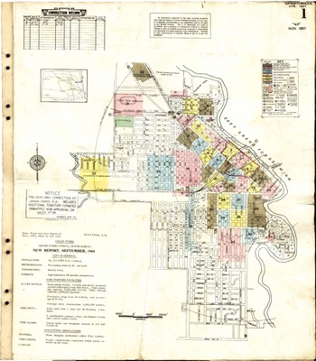
 by Sanborn Map Company")
Grand Forks, 1927 (with paste downs from 1951, 1957, and 1960)
Sanborn Map Company
1927 map for Grand Forks, North Dakota. The map has paste downs from 1951, 1957, and 1960 and has a green cover. Scale of 1:600 (50 feet=1 inch). 36 pages, each measuring 64 x 54 cm. A two page index follows the last map, while the boundaries for all pages and the key are included on the first page.
-

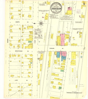
Hankinson, 1908
Sanborn Map Company
1908 map for Hankinson, North Dakota. Scale of 1:600 (50 feet=1 inch). Two total pages, each measuring 64 x 54 cm. Index, key, and boundaries for all pages included on the first page.
-

Hankinson, 1914
Sanborn Map Company
1914 map for Hankinson, North Dakota. Scale of 1:600 (50 feet=1 inch). Two total pages, each measuring 64 x 54 cm. Index, key, and boundaries for all pages included on the first page.