

Title of Work
Preview
Date of Work
1944
Medium
Printed Map
Height
26"
Width
33"
Collection/Provenance
Art & Design Study Collection: James Smith Pierce Collection
Status
Stored: 211A, JSP Box 11
Location
UND Art Collections Repository
Additional Information
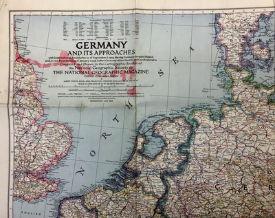
Germany and its approaches with International Boundaries as of September 1, 1939, the day Germany invaded Poland and, in red, Boundaries as of January 1, 1938, before Germany seized Austria and Czechoslovakia compiled and drawn in the cartographic section of the National Geographic Society for the national Geographic Magazine.
Condition
Good
Condition Notes
Red marker
COinS